Wonnangatta and Punchen Budweid aerial baiting area
Wild dog program – aerial baiting in autumn 2024
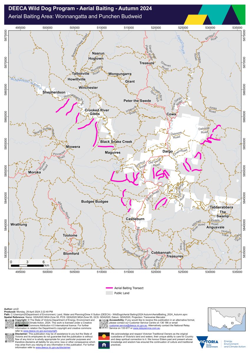
Wonnangatta and Punchen Budweid aerial baiting area map (PDF - 1.6 MB)
Wonnangatta and Punchen Budweid aerial baiting area interactive map
The Wonnangatta and Punchen Budweid aerial baiting area occurs on public land which is within 3 kilometres of the public land and private land interface. Localities within the Wonnangatta and Punchen Budweid aerial baiting area include:
- Budgee Budgee
- Cobbannah
- Crooked River
- Dargo
- Hawkhurst
- Miowera
- Tabberabbera
- Wongungarra.
1080 baits have been dropped from a helicopter along transects located on public land:
- south-east of The Brothers
- south-east of Benambra
- east and south of Hinnomunjie
- surrounding Bindi
- north and east of Tongio
- north-west of Nunniong.
Page last updated: 07 May 2024