Climate posters
These posters can aid in understanding recent trends in our climate.
A key aspect of successful agriculture is being able to manage seasonal variability and climate change.
One way that helps to do this is by looking at annual rainfall and temperature information over the years – past trends can aid in predicting what our climate will be like in the future.
We have prepared posters with this information, based on historical records from 1910 to 2019.
Summary
These two posters show that:
- rainfall variability will continue to be driven by our key climate drivers.
- recent decades have been hotter.
Climate change projections successfully predicted this trend and maximum temperatures is expected to continue to rise in future decades. This is caused by heat trapping greenhouse gases in the atmosphere.
Posters
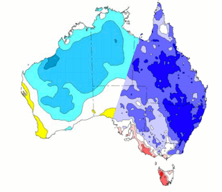
Annual rainfall decile maps 1910–2019
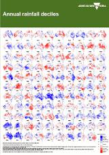 This poster shows rainfall values across across Australia since 1910.
You can see how longer term annual rainfall has been variable over the years.
This variability will likely continue into the future and is driven by our key climate drivers (see Understanding weather, climate and forecasting).
Download: Annual rainfall decile maps 1910–2019 ![]() [PDF File - 7.0 MB]
[PDF File - 7.0 MB]
Maximum temperature decile maps 1910–2019
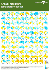 This poster shows temperature values across Australian since 1910.
It shows how recent decades have been hotter.
Download: Maximum temperature decile maps 1910–2019 ![]() [PDF File - 4.4 MB]
[PDF File - 4.4 MB]
More information
These resources provide useful information on climate key drivers and climate change projections for Victoria.
The Break newsletter – Subscribe to this newsletter to receive a monthly commentary on key drivers of variability and seasonal forecasts.
- om.gov.au: Climate history & trends – Four page fact sheets for each region