eGuides – Planning and farm development
On farm, small scale or mobile abattoirs
An eGuide to help proponents, consultants and planners understand the approvals required to develop an on-farm small scale fixed or mobile abattoir.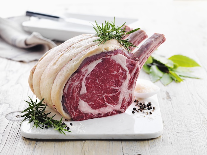
- Develop an understanding of the regulatory pathways and requirements.
- Understand the approvals required to legally develop and operate a small scale, on-farm abattoir
- Understand the different roles of regulatory authorities
- Have access to appropriate guidance materials to develop the supporting documents
- Have contact details of the relevant regulatory authorities
Farm Management Plans to support a planning application for the primary use of the land for Agriculture
An eGuide for council planners, consultants and applicants 
- Help council planners, applicants and their consultants to develop a common understanding of the purpose and content requirements for a Farm Management Plan.
- Aid the development of relevant materials with a clear purpose
- Ensure appropriate information is included
- Assist in the assessment of planning applications
Animal production land use terms in the Victoria Planning Provisions
An eGuide for council planners
- Check, or improve understanding and application of land use terms as they relate to animal production.
- Distinguish between animal production land use terms.
- Interpret the animal production nesting diagram correctly.
Animal production land use terms in the Victoria Planning Provisions
An eGuide for farmers and farm advisors
- Understand how animal production land use terms are defined and used in the Victoria Planning Provisions (VPP) and in planning permit applications.
- Distinguish between grazing animal production and intensive animal production.
- Find relevant information easily.
How to use Navigating Farm Developments
An eGuide for farmers and farm advisors
- Navigating Farm Developments (NFD) is an
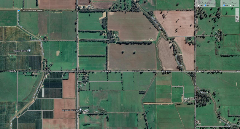
online tool developed by Agriculture Victoria. - It helps identify planning and other requirements related to farm development projects.
- The tool describes requirements for many different types of developments in the beef, dairy, goats, grains, horticulture, pigs, poultry and sheep sectors.
Planning Pathways for Poultry Farms
An eGuide for Planners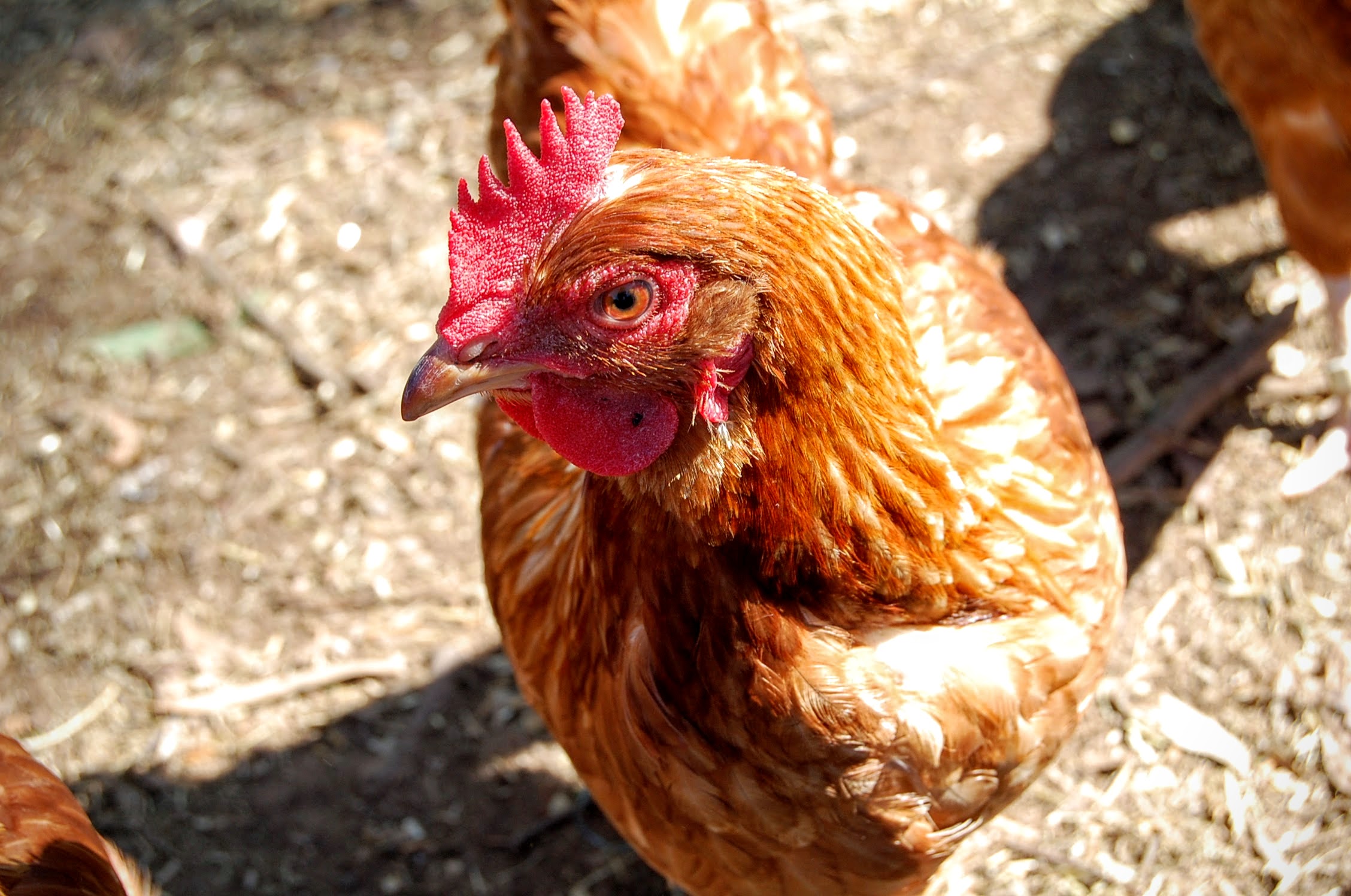
- Develop a consistent and clear approach to assessing poultry farm planning applications
- Assess an application against the exemption from notice and review provision from Clause 53.09-4 and the Victorian Low Density Mobile Outdoor Poultry Farm Planning Permit Guidelines objectives and standards.
- Provide links to relevant guidance for all types of poultry farms
Planning Pathways for Pig Farms
An eGuide for Planners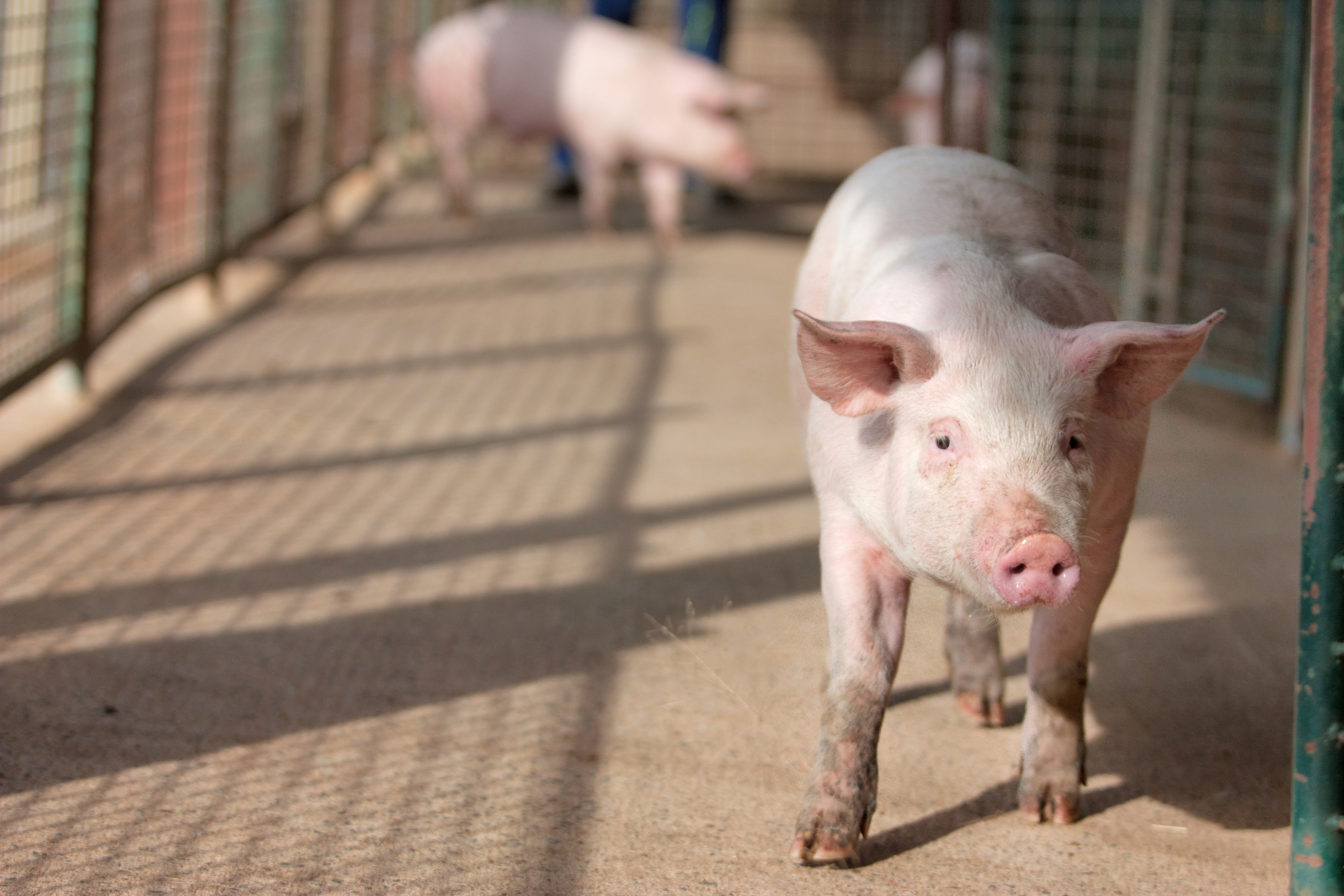
- Develop a consistent and clear approach to assessing pig farm planning applications
- Assess an application against the exemption from notice and review provision from Clause 53.16-2 and the Victorian Low Density Mobile Outdoor Pig Farm Planning Permit Guidelines objectives and standards.
- Provide links to relevant guidance for all types of pig farms
Page last updated: 04 Mar 2025